


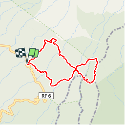

5,7 km | 10 km-effort


Usuario


Aplicación GPS de excursión GRATIS
 SityTrail
IGN / Institutos geográficos
SityTrail World
El mundo es suyo
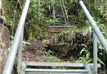
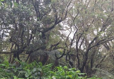
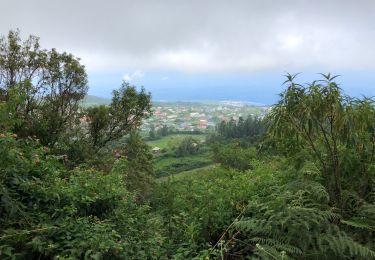
Ruta Senderismo de 4,6 km a descubrir en La Reunión, Desconocido, Les Avirons. Esta ruta ha sido propuesta por Fdum.
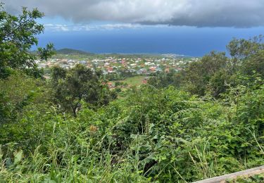
Un grand huit à découvrir. La route est longue pour s'y rendre... Si vous voulez profiter de la vue sur les makes, il faut partir de bonne heure !!!
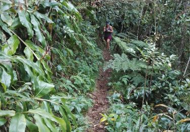
Senderismo
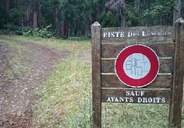
Senderismo
Senderismo
Senderismo
Senderismo
Senderismo
Senderismo

Senderismo